
The OS NGD switchover will disrupt everything: Are you ready?
| AI Summary: Listen to this article in a 5 minute AI podcast, powered by Google Notebook LM. |
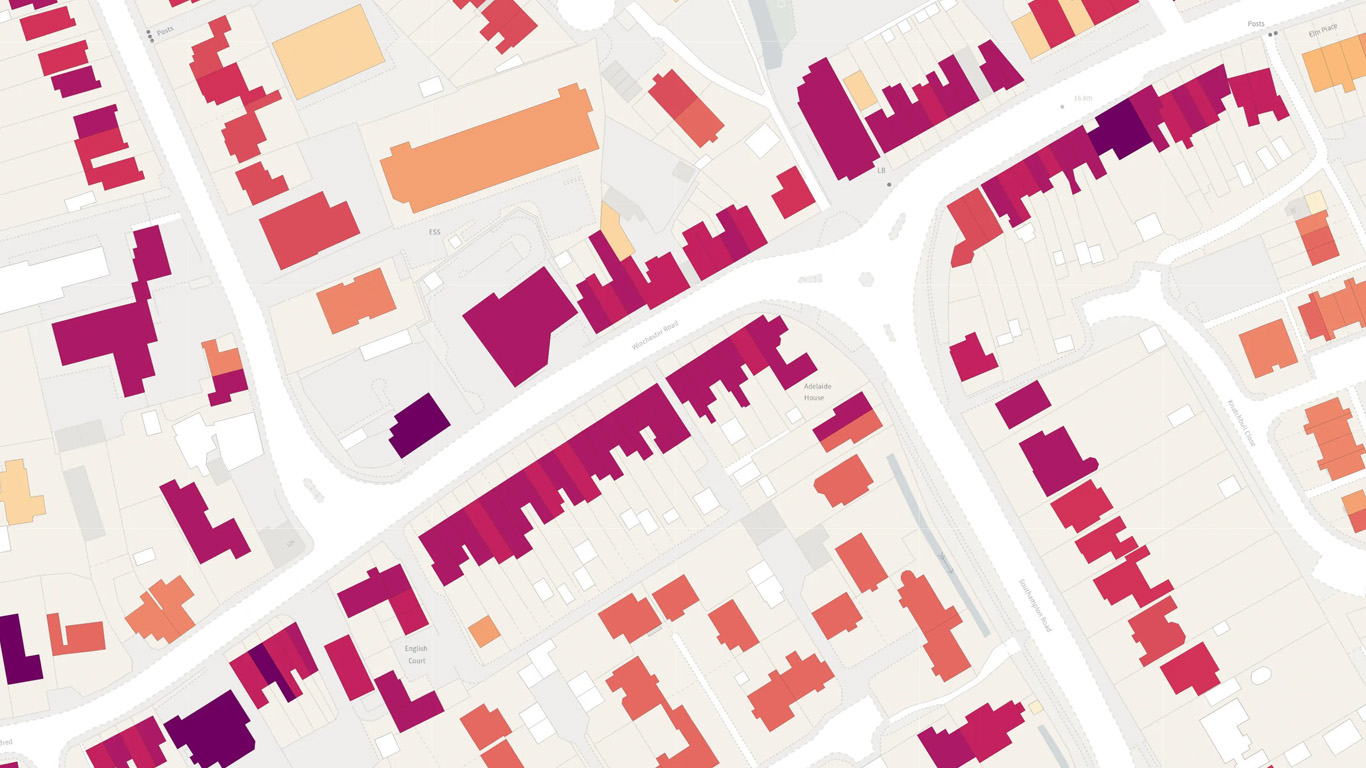
The Ordnance Survey National Geographic Database (NGD) represents the most significant change to UK geospatial data in over a decade. This isn’t just a replacement for OS MasterMap or other legacy products, it’s a fundamental rethink of how location data is structured, accessed, and licensed. It offers you a huge range of benefits and opportunities.
However, if your workflows, systems, or procurement models are built around OS’s current products, it is likely that you will be affected and will need to adapt. Here are the key challenges your organisation needs to prepare for.

A new data model means reworking what you’ve built
NGD is not the same as OS MasterMap Topo. Systems that rely on its structure may now need to be adapted.
- New schema: NGD is a complete redesign. Field names, feature relationships, and attribution structures have shifted, meaning existing workflows, automations, and analysis pipelines likely won’t work without adaptation.
- New features: NGD introduces new feature types that replace things you may have modelled yourself. For example, if you’ve previously created pavement widths by buffering road centre lines, NGD now provides pedestrian infrastructure. Sticking with old methods could lead to inconsistencies, duplication, or just bad data.

Access requires new skills and infrastructure
Flexible access is powerful but only when you’ve got the infrastructure and skills to use it properly.
- APIs are the default: NGD shifts away from static file downloads towards service-based delivery. OGC-compliant APIs offer flexibility and scalability, but only if your teams are set up to use them. If programmatic access isn’t already part of your workflows expect a learning curve.
- More precision: The Select + Build functionality allows for targeted data extraction – great in theory, but it demands rigour. Your GIS teams will need to carefully define and manage spatial queries, ensure accurate boundaries, and validate what’s being pulled. Sloppy queries could result in missing data or additional costs.

Flexible consumption but with new complexity
NGD moves away from bundled products to granular licensing by feature and location. While this brings flexibility, it also introduces new challenges:
- Licensing is now granular: You can only pay for the features that you use but that assumes you actually know what you’re using. Forecasting costs, tracking consumption, and managing procurement will require a more hands-on approach than simply buying a bundled dataset.
- A period of dual licensing: Many organisations will need to operate with both NGD and legacy OS datasets during the transition. That means juggling different schemas, formats, access models, and licensing.

Talk to us to prepare for NGD disruption
NGD is a major step forward but only for those who are prepared. Systems may need reconfiguration. Teams may need upskilling. Procurement and data management practices may need a complete rethink.
As one of the most experienced and trusted OS partners, miso is already helping organisations prepare for the transition from technical readiness reviews to API onboarding and dual-licensing strategies. Talk to us to unlock operational advantages with NGD by calling 0121 232 8000 or clicking here.